Паншарпенинг
Подробный обзор инструмента паншарпенинга
для повышения качества космических снимков


Что это такое?
Пространственное разрешение – размер самой малой детали местности, воспроизводимой на снимке, определяется размером пикселя. То есть, у снимка с пространственным разрешением 1 м пиксель имеет размер 1х1 м.
Типы пространственного разрешения спутниковых изображений:
- очень низкое (хуже 100 м);
- низкое (15–100 м);
- среднее (5–15 м);
- высокое (1–2,5 м);
- сверхвысокое (0,3–1 м).
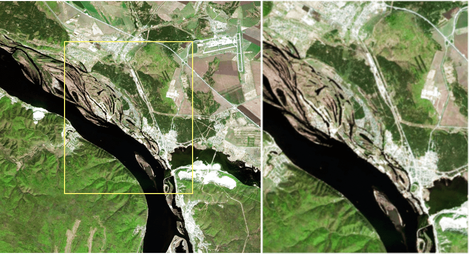
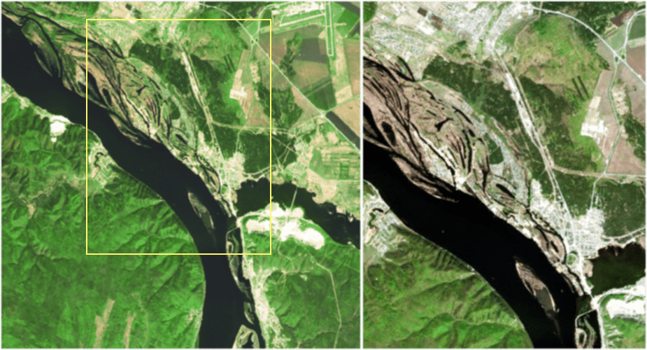
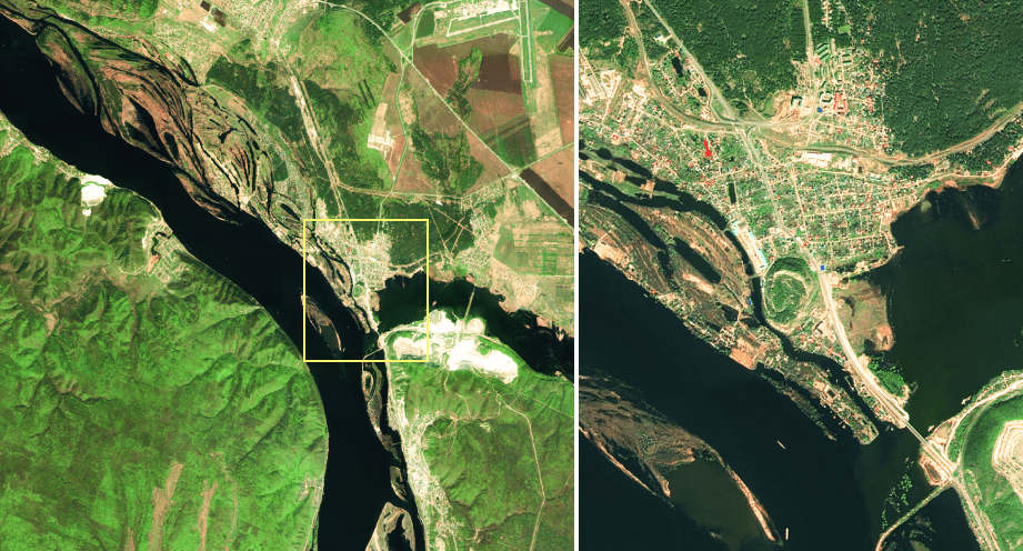
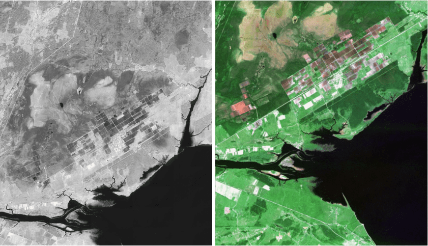
Паншарпенинг позволяет получить из панхроматического и мультиспектрального каналов двух продуктов одно изображение. Панхроматический канал, как правило, имеет более высокое пространственное разрешение, мультиспектральный – более низкое.
Чем может помочь
функция паншарпенинга
Паншарпенинг используется для:
- создание изображения в естественных цветах с разрешением панхроматического канала;
- создания картографических данных высокой четкости;
- более точного дешифрования, полученных результатов тематической обработки;
- для более точного определения отдельных объектов.
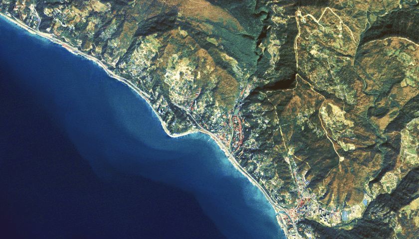
Пример выполнения паншарпенинга
В ПК IMC паншарпенинг происходит автоматически, оператору нужно лишь указать цветовые каналы.
Перед выполнением паншарпенинга необходимо собрать композит из мультиспектральных и панхроматических данных, по которым планируется проводить обработку.
Далее нужно выбрать метод проведения паншарпенинга по формулам ESRI или IHS, а так же есть возможность включения в расчет ближний инфракрасный канал.

