Центр
Инновационных
Технологий
Узнайте о нас больше


Центр Инновационных Технологий
Кто мы?
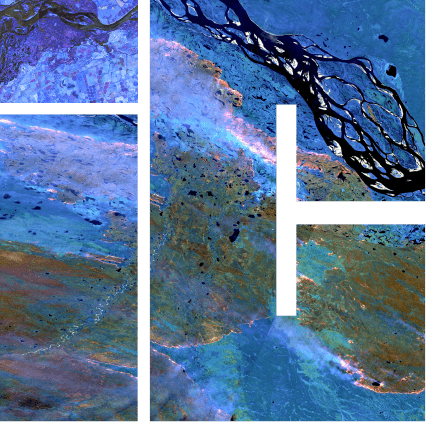
Центр инновационных технологий создавался с задачей разработки программного обеспечения упрощения доступа к геоинформации, обладание которой необходимо для анализа местности.
Наши специалисты, используя свои знания и многолетний опыт работы, смогут воплотить информационную систему, способную быстро предоставить искомые геосведения для работы с ними.
Центр Инновационных Технологий
Чем мы занимаемся?
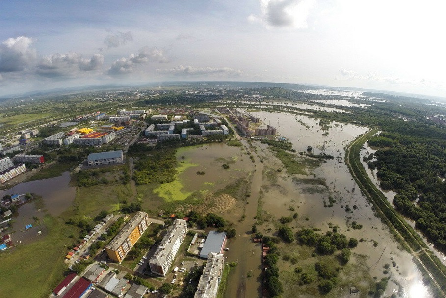
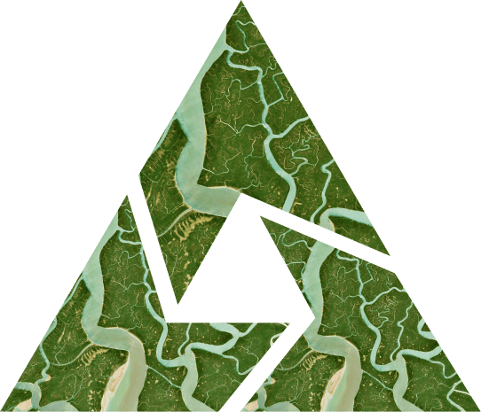
Обрабатываем данные дистанционного зондирования Земли.
Мы работаем над крупными международными и российскими проектами, для коммерческих и государственных предприятий, финансовых учреждений, структур федерального и областного уровня.
Занимаемся разработкой программного комплекса для обработки пространственных данных, используя технологии дистанционного зондирования Земли.
Центр Инновационных Технологий
Зачем мы это делаем?
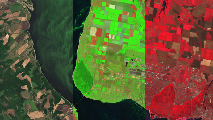
Мы уверены, что геоинформационные системы - это важнейший инструмент для исследования местности, который решает множество задач в области народного хозяйства.
Сфера деятельности компании

Создание
программного обеспечения
Центр инновационных технологий разрабатывает специализированного ПО для государственных и коммерческих организаций

Обработка материалов космической съемки
Компания Центр инновационных технологий проводит обработку космических снимков и тематическую обработку

Разработка географических информационных систем
Центр инновационных технологий создает специализированные ГИС - системы под нужды заказчика

Создание систем хранения
и управления информацией
Компания Центр инновационных технологий создает системы для хранения и управления космических данных

Образовательные
программы
Центр инновационных технологий проводит обучение и предоставляет ПО для образовательных учреждений
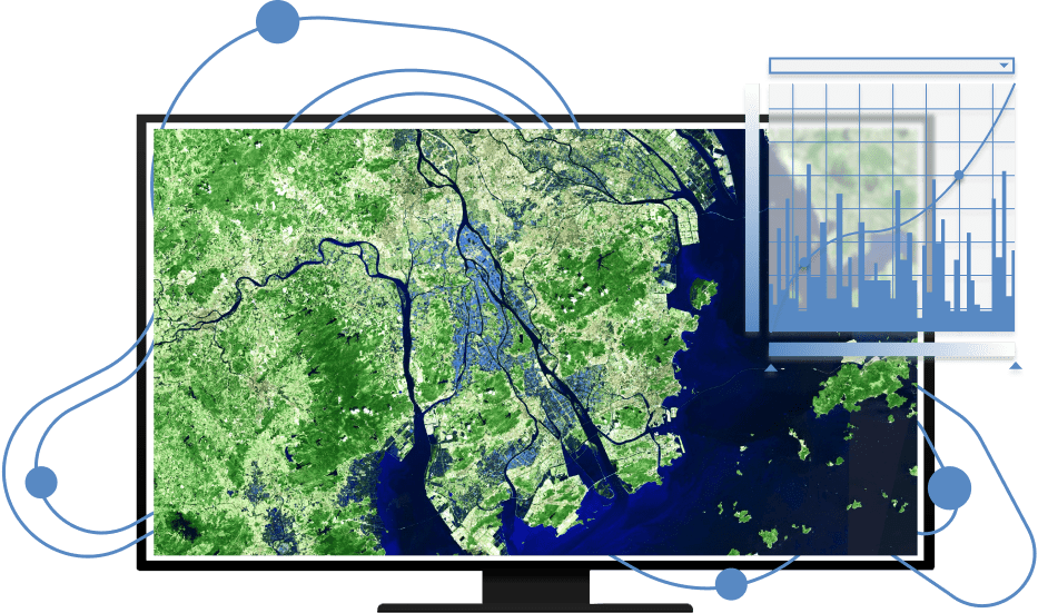
IMAGE MEDIA CENTER
В геоинформационном программном комплексе IMC реализован широкий перечень методов обработки данных ДЗЗ от предварительной обработки снимков до формирования тематических векторных слоев, насыщенных атрибутивной информацией.
Обработка материалов может производиться на рабочем месте оператора или на удаленном сервере, что позволяет обрабатывать большие объемы растровых и векторных данных в оперативном режиме.
События
Новости нашей компании, а так же интересные события в области индустрии
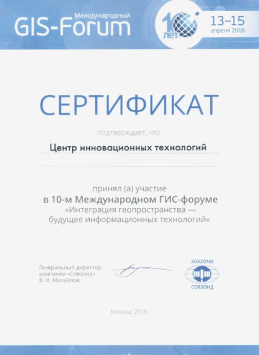
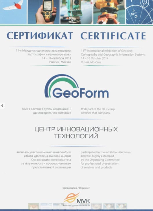
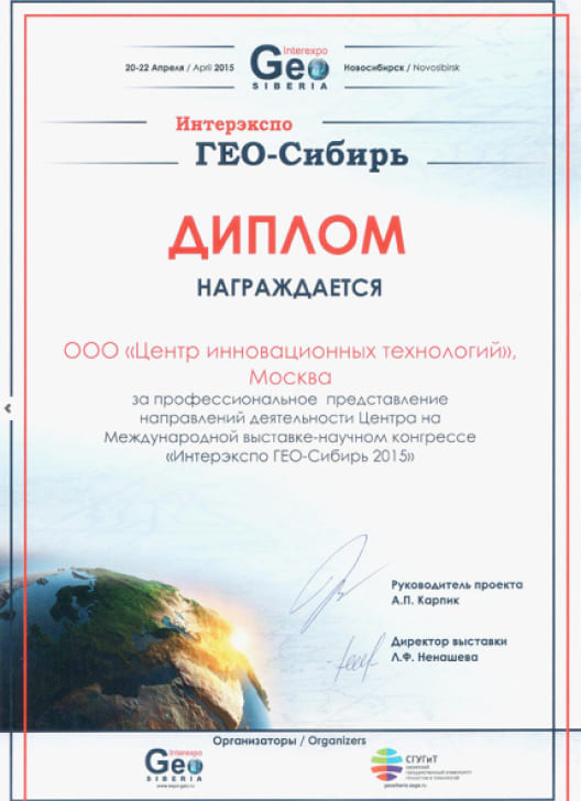
Наши достижения
