Демонстрация возможностей
Данные видеоматериалы позволят лучше понять на реальных примерах какие задачи решает программный комплекс.


Демонстрация возможностей

Презентация ПО IMC
15:43Презентация программного обеспечения Image Media Center

Вебинар 11.02.16 «Возможности обработки ДДЗЗ в ПК IMC»
1:02:24
Вебинар 16.05.2016 «Возможности ПК IMC для решения задач градостроительства»
59:47
Примеры тематической обработки в ПК IMC. Катар
10:33- предварительная обработка на примере данных со спутника LANDSAT-8;
- выявление изменений по данным съемочной системы LANDSAT;
- уточнение изменений по данным со спутника Ресурс-П;
- выявление опасных явлений по данным со спутника Ресурс-П (барханы в зоне ЛЭП);
- выявление зон риска объектов транспортной инфраструктуры;
- мониторинг акватории по данным со спутника Sentinel-1.

Моделирование наводнений в ПК IMAGE MEDIA CENTER. Индия
4:25
Мониторинг трубопровода в ПК IMC
6:42
Мониторинг наводнений
8:12
Выявление опасных участков на трубопроводе
2:44
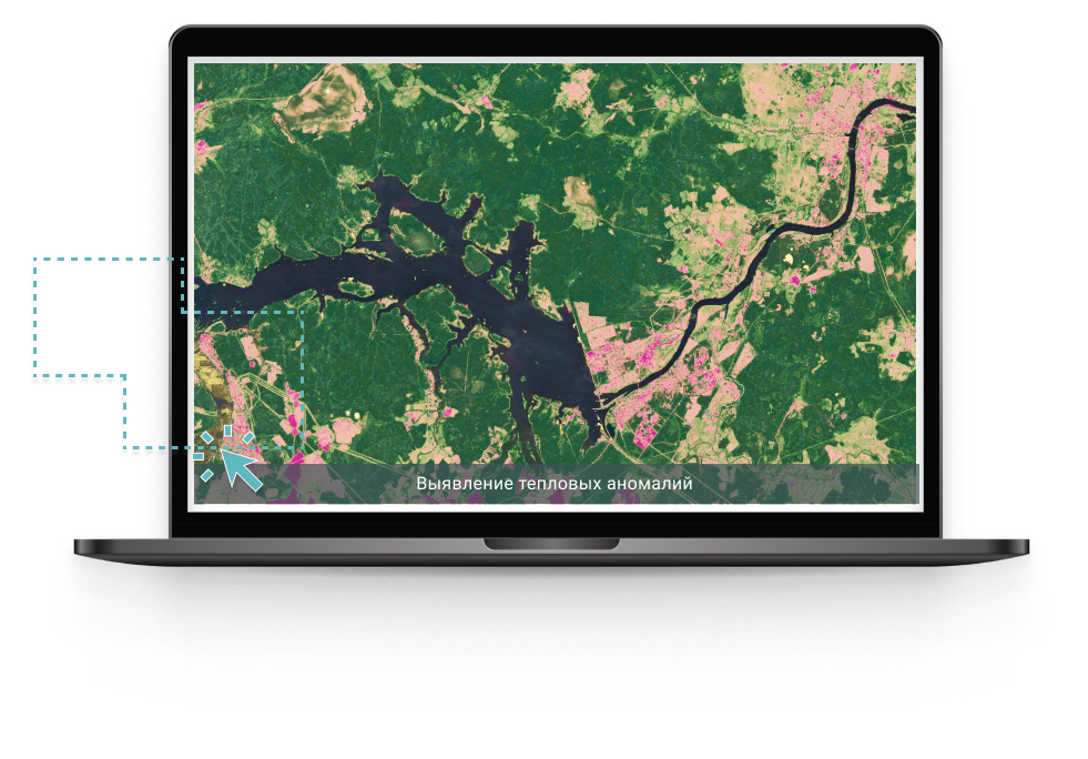
Выявление тепловых аномалий
9:41
Выявление очагов пожаров по данным КА Landsat-8
1:09
Классификация подстилающей поверхности по данным КА Landsat-8
10:21
Выявление гарей в границах ООПТ
3:13